
DIGITAL YARD AND MACHINE CONTROL
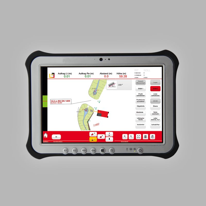
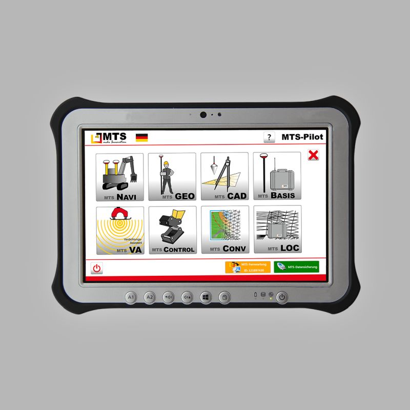
3D EXCAVATOR CONTROL
3D navigation consisting of sensors, receiver, antennas, ToughPad and software, enabling the operator to guide the excavator along a digital terrain model.
SEE MORE →
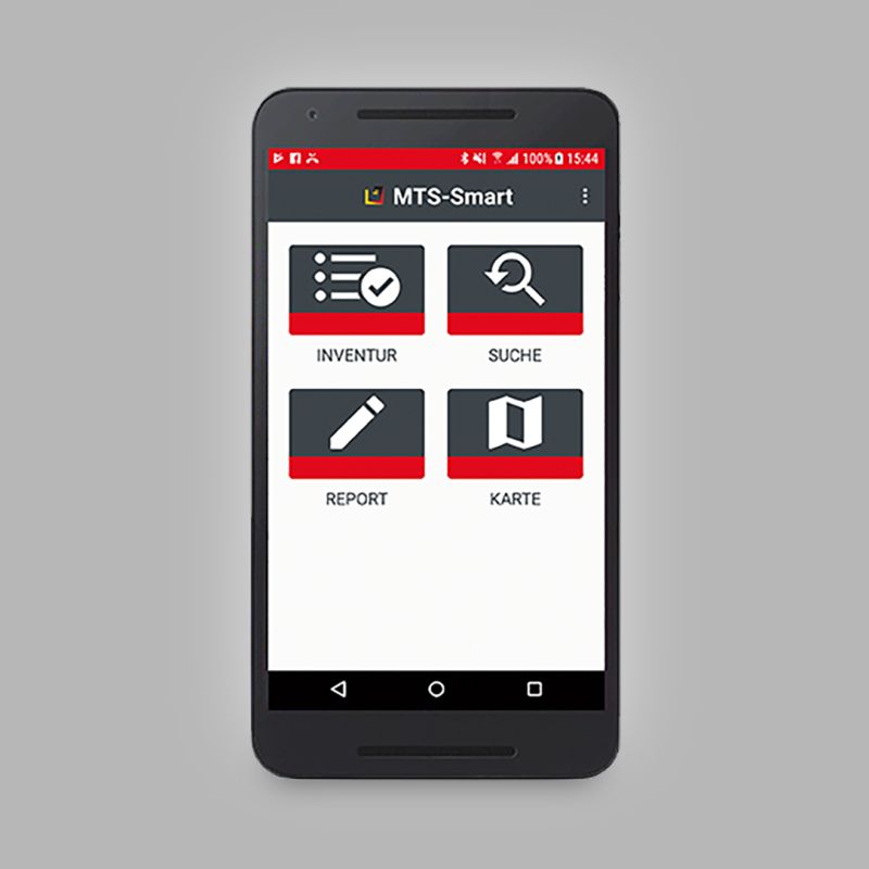
MTS-SMART
An app to help bring order and increase productivity by controlling all equipment on site.
SEE MORE →
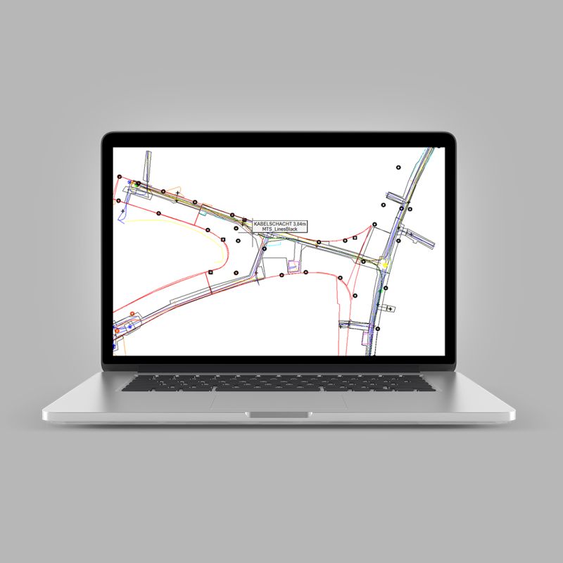
3D DATA PREPARATION
Support for the transfer of paper documentation to excavator control data. This service includes consultation, staff training and complete data processing.