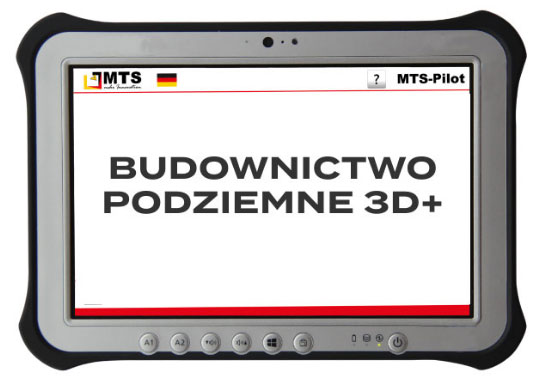
MTS-PILOT
The digital toolkit of the modern construction site.
DIGITAL TOOLKIT
A MODERN CONSTRUCTION SITE
MTS-CAD
DATA PREPARATION
- Ability to create construction maps independently
- Visualization of channels and pipes as 3D lines
- Creation of digital terrain models based on measurement data and point clouds, verification, and supplementation of existing planning materials
- Detection of design errors before halting construction work
- Facilitating management by utilizing length, area, and volume measurements during construction work
- Utilization of length, area, and volume for complete and controlled computational data
MTS-NAVI
EXCAVATOR + BULLDOZER
- Excavator navigation system
- Precise guidance of the excavator bucket along the digital terrain model or line
- Instant availability of all information regarding the current construction situation
- Accurate representation of excavation bottom, embankment, and trench
- Clear visualization of channel and street axes or roadway edges
- Elimination of leveling
- No need for stakes and safeguards
- Excavation and embankment layer assistant as practical tools
MTS-CAD
MEASUREMENTS
- Elimination of preliminary staking by a surveyor
- Possibility for workers to place stakes independently at a chosen time
- Option to print measurements
- Extended staking functions such as indirect measurements
- Precise terrain measurement allows for accurate determination and allocation of transferred soil
- Precise documentation of each work step and ensuring completeness of settlement documentation
MTS-NAVI
EMBANKMENT LAYER ASSISTANT
- Determination and maintenance of the correct embankment height
- Graphical representation of embankment height on the excavator’s computer
COMPACTION COMPLETION SIGNAL AND PROTOCOL DISPLAY
- Measurement performed by the compactor and notification of compaction process completion
- Display of message and protocol on the excavator’s computer
BEARING CAPACITY CONTROL
- Control measurement using a lightweight HMP measuring module
- Transfer of Evd values to construction data with an accuracy of 1 cm
- PDF reports and presentation of curves or measurement points on the construction plan
THE MTS PILOT IS A GUARANTEE OF SUCCESS
OPTIMISATION OF THE CONSTRUCTION PROCESS
- Comprehensive planning – execution – settlement – documentation
- Continuous position and height control
- Precision and quality control
- Integration with automatic technologies (MTS-VA)
- Adaptation to BIM standards
REDUCED MEASUREMENT EFFORT
- Completion of measurements before the start of construction work
- Immediate detection of errors and design deficiencies
SPEEDING UP CONSTRUCTION WORK
- High efficiency
- Short downtime
- Independent work of the excavator operator
- Elimination of insufficient/excessive soil removal
HIGHER LEVEL OF OCCUPATIONAL SAFETY
- Excavator access to hard-to-reach areas, even at a depth of 5 m
GAINING NEW MARKET OPPORTUNITIES
- Possibility of performing construction work that would be unprofitable without 3D excavator control

